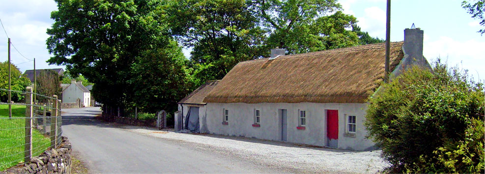
© Donal G. Burke 2013
A list of the chief men of the barony of Longford in east Galway, drawn up in 1574, recorded three individuals in the parish of Killoran; Conor McHugh, Avly oge and Amacha McHugh of Clonlahan, with three castles.
‘In consideration of his wounds and for his services in the war’, one Edmund Barrett received among his grant of lands in 1595 ‘the ruinous castle of Clonelaghan’, and a half quarter of land thereto adjoining, a ruined mill and watercourse and other lands in the parish of Killoran, taken from Melaughlin mcAwly oge O Madden, attainted.[i]
In the aftermath of the Nine Years War, the estates of various O Maddens attainted, killed or executed in rebellion were confiscated and granted to loyalists and land speculators, the most significant of which was Owen O Madden’s estate about Lusmagh. Gerald, Earl of Kildare in 1610 acquired property once in the possession of a number of different O Maddens, including that of the ‘ruinous castle of Clonlehone and the half quarter there’, and lands in the quarter of Dangin in Kiltormer ‘lately in the tenure of Awlye oge O Madden.’[ii]
It is unclear if there were three castles or one castle situated at Cloonlahan or if the ruins of a castle acquired by Edmund Barrett is the same as that later acquired by the Earl of Kildare. It would appear unlikely given the size of the modern townland that it would have accommodated three castles or tower houses within such close proximity of one another.
Cloonlahan as a townland by the mid nineteenth century was divided into two separate denominations; Cloonlahan Eyre and, adjoining it and to the south-east, Cloonlahan Geoghegan. The remains of a castle were not described on the early Ordnance Survey maps of 1842, but in the extreme east of Cloonlahan Geoghegan, in the vicinity of the small Cloonlahan bridge, a corn mill was extant near a minor stream.[iii] A narrow channel was routed off the stream to run by the mill and was dammed immediately before the building to create a gathering of water. By the 1890s the mill and water pool were gone, a spring indicated in the approximate location of the dammed reservoir. No other stream of note runs through Cloonlahan and as the same stream only runs through poorer land in Cloonlahan Eyre, with no evidence of previous development at that stretch of the stream, it is likely that the location of the corn mill and channel in the 1840s is the approximate location of the late sixteenth century ruined mill and watercourse.
At a distance to the west of the mill, beside a small cluster of houses called Cloonlahan, an oval shaped raised area was shown on the 1840s maps but not identified as anything until later twenty-first century maps described this as a ringfort. The raised area on maps was not, however, illustrated in a manner suggesting any raised enclosing mound often shown on depictions of ringforts or liosanna. A raised area illustrated in the same manner and of similar size lay within a very short distance, however, in the adjoining townland of Ballooly Eyre. There is no other cartographic evidence to suggest a possible site for a castle or tower house at Cloonlahan unless a previous structure of note was incorporated or replaced by the mid nineteenth century house and outbuildings identified as Bettyville in Cloonlahan Eyre.
[i] Cal. Patent Rolls, Eliz. I
[ii] Cal. Patent Rolls, James I, LXVII
[iii] This same stream formed one of a number that flowed into and further south formed the Kilcrow River.

